
Thank you for supporting this site ❤️
Make a donation
Make a donation
Freehold topographic map
Click on the map to display elevation.
Thank you for supporting this site ❤️
Make a donation
Make a donation
Freehold
Freehold has an elevation of 174 feet (53 m) above sea level at its center.
Thank you for supporting this site ❤️
Make a donation
Make a donation
About this map
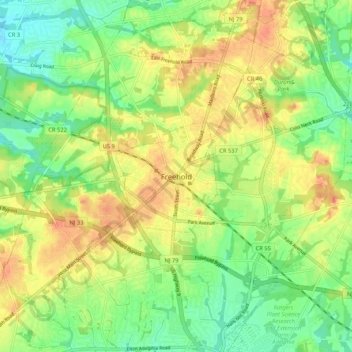
Name: Freehold topographic map, elevation, terrain.
Average elevation: 45 m
Minimum elevation: 24 m
Maximum elevation: 67 m
Thank you for supporting this site ❤️
Make a donation
Make a donation