
Perlee topographic map
Interactive map
Click on the map to display elevation.
About this map
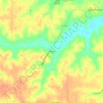
Name: Perlee topographic map, elevation, terrain.
Location: Perlee, Jefferson County, Iowa, États-Unis d'Amérique (41.06391 -91.92351 41.10391 -91.88351)
Average elevation: 225 m
Minimum elevation: 198 m
Maximum elevation: 242 m