
Winchburgh topographic map
Click on the map to display elevation.
About this map
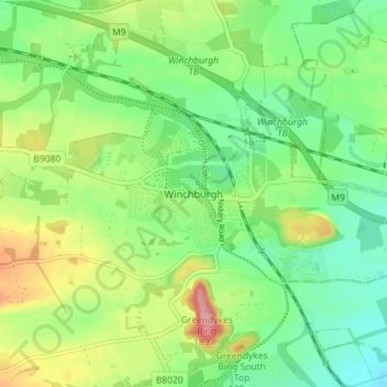
Name: Winchburgh topographic map, elevation, terrain.
Location: Winchburgh, West Lothian, Scotland, EH52 6FD, United Kingdom (55.92016 -3.50644 56.00016 -3.42644)
Average elevation: 74 m
Minimum elevation: 0 m
Maximum elevation: 199 m
Other topographic maps
Click on a map to view its topography, its elevation and its terrain.
Linlithgow Palace and High Street Conservation Area
United Kingdom > Scotland > West Lothian > Linlithgow
Average elevation: 78 m