
Läufelfingen topographic map
Interactive map
Click on the map to display elevation.
About this map
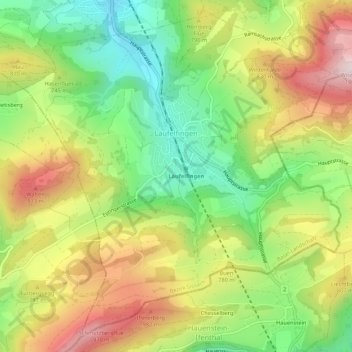
Name: Läufelfingen topographic map, elevation, terrain.
Location: Läufelfingen, Bezirk Sissach, Bazel-Land, 4448, Zwitserland (47.37415 7.82628 47.40854 7.87980)
Average elevation: 716 m
Minimum elevation: 488 m
Maximum elevation: 991 m