
Thank you for supporting this site ❤️
Make a donation
Make a donation
Cascajal Bajo topographic map
Click on the map to display elevation.
Thank you for supporting this site ❤️
Make a donation
Make a donation
About this map
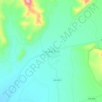
Name: Cascajal Bajo topographic map, elevation, terrain.
Location: Cascajal Bajo, Chimbote, Santa, Áncash, Perú (-8.92772 -78.54643 -8.88772 -78.50643)
Average elevation: 160 m
Minimum elevation: 97 m
Maximum elevation: 367 m
Thank you for supporting this site ❤️
Make a donation
Make a donation
Other topographic maps
Click on a map to view its topography, its elevation and its terrain.