
Thank you for supporting this site ❤️
Make a donation
Make a donation
Rehe topographic map
Click on the map to display elevation.
Thank you for supporting this site ❤️
Make a donation
Make a donation
About this map
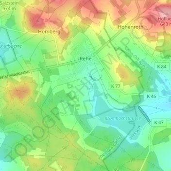
Name: Rehe topographic map, elevation, terrain.
Location: Rehe, Rennerod, Westerwaldkreis, Rijnland-Palts, Duitsland (50.60752 8.09564 50.64814 8.14125)
Average elevation: 560 m
Minimum elevation: 508 m
Maximum elevation: 648 m
Thank you for supporting this site ❤️
Make a donation
Make a donation