
Haljora topographic map
Click on the map to display elevation.
About this map
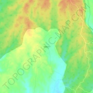
Name: Haljora topographic map, elevation, terrain.
Location: Haljora, Roorkee, Haridwar District, Uttarakhand, India (30.00999 77.86729 30.04999 77.90729)
Average elevation: 309 m
Minimum elevation: 287 m
Maximum elevation: 328 m