
Thank you for supporting this site ❤️
Make a donation
Make a donation
Åndalsnes topographic map
Click on the map to display elevation.
Thank you for supporting this site ❤️
Make a donation
Make a donation
About this map
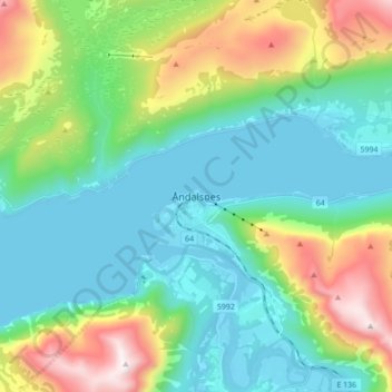
Name: Åndalsnes topographic map, elevation, terrain.
Location: Åndalsnes, Rauma, Møre og Romsdal, 6310, Norway (62.52817 7.64676 62.60817 7.72676)
Average elevation: 328 m
Minimum elevation: -13 m
Maximum elevation: 1,228 m
Thank you for supporting this site ❤️
Make a donation
Make a donation
Other topographic maps
Click on a map to view its topography, its elevation and its terrain.