
Borja topographic map
Interactive map
Click on the map to display elevation.
About this map
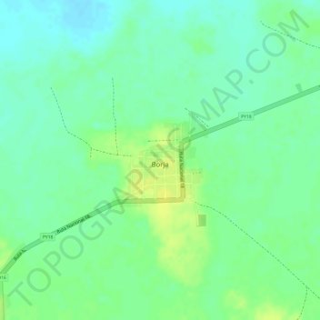
Name: Borja topographic map, elevation, terrain.
Location: Borja, Guairá, Región Oriental, Paraguay (-25.95440 -56.50074 -25.94651 -56.49162)
Average elevation: 120 m
Minimum elevation: 110 m
Maximum elevation: 130 m