
Chepén topographic map
Interactive map
Click on the map to display elevation.
About this map
Name: Chepén topographic map, elevation, terrain.
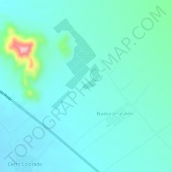
Location: Chepén, Pacanga, Chepén, La Libertad, Peru (-7.12700 -79.50140 -7.08700 -79.46140)
Average elevation: 115 m
Minimum elevation: 79 m
Maximum elevation: 316 m