
McCaysville topographic map
Interactive map
Click on the map to display elevation.
About this map
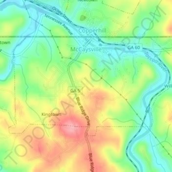
Name: McCaysville topographic map, elevation, terrain.
Average elevation: 484 m
Minimum elevation: 437 m
Maximum elevation: 548 m
Other topographic maps
Click on a map to view its topography, its elevation and its terrain.
Blue Ridge
Vereinigte Staaten von Amerika > Georgia > Fannin County > Blue Ridge
Blue Ridge, Fannin County, Georgia, Vereinigte Staaten von Amerika
Average elevation: 535 m