
Thank you for supporting this site ❤️
Make a donation
Make a donation
Telo topographic map
Click on the map to display elevation.
Thank you for supporting this site ❤️
Make a donation
Make a donation
About this map
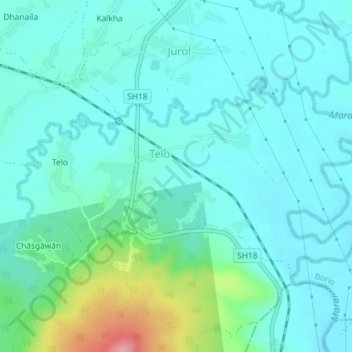
Name: Telo topographic map, elevation, terrain.
Location: Telo, Borio, Sahibganj District, Jharkhand, India (24.99520 87.57232 25.01372 87.60862)
Average elevation: 80 m
Minimum elevation: 55 m
Maximum elevation: 188 m
Thank you for supporting this site ❤️
Make a donation
Make a donation