
Darbon Lake topographic map
Interactive map
Click on the map to display elevation.
About this map
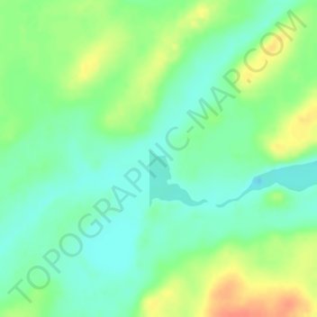
Name: Darbon Lake topographic map, elevation, terrain.
Average elevation: 360 m
Minimum elevation: 343 m
Maximum elevation: 387 m
Other topographic maps
Click on a map to view its topography, its elevation and its terrain.
Rossport
Canada > Ontario > Unorganized Thunder Bay District > Rossport
Rossport, Unorganized Thunder Bay District, Thunder Bay District, Northwestern Ontario, Ontario, Canada
Average elevation: 227 m
Lac Nipigon
Canada > Ontario > Unorganized Thunder Bay District
Lac Nipigon, Unorganized Thunder Bay District, Thunder Bay District, Northwestern Ontario, Ontario, Canada
Average elevation: 307 m