
Esvelderbeek topographic map
Interactive map
Click on the map to display elevation.
About this map
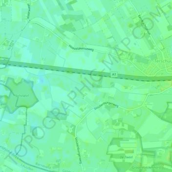
Name: Esvelderbeek topographic map, elevation, terrain.
Location: Esvelderbeek, Terschuur, Barneveld, Gelderland, Nederland (52.16141 5.49945 52.16148 5.49957)
Average elevation: 5 m
Minimum elevation: 0 m
Maximum elevation: 9 m