
Thank you for supporting this site ❤️
Make a donation
Make a donation
Ens topographic map
Click on the map to display elevation.
Thank you for supporting this site ❤️
Make a donation
Make a donation
About this map
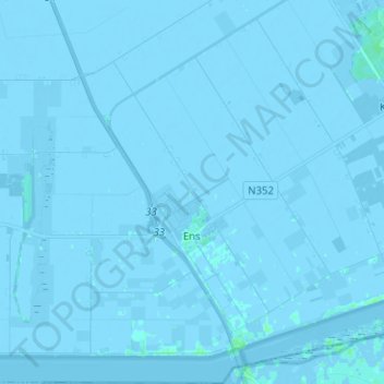
Name: Ens topographic map, elevation, terrain.
Location: Ens, Noordoostpolder, Flevoland, Nederland (52.60733 5.77152 52.68361 5.88808)
Average elevation: -2 m
Minimum elevation: -5 m
Maximum elevation: 6 m
Thank you for supporting this site ❤️
Make a donation
Make a donation
Other topographic maps
Click on a map to view its topography, its elevation and its terrain.