
Sojha topographic map
Interactive map
Click on the map to display elevation.
About this map
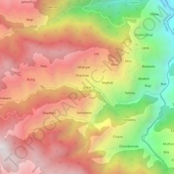
Name: Sojha topographic map, elevation, terrain.
Location: Sojha, Bali Chowki, Mandi District, Himachal Pradesh, India (31.58627 77.26198 31.62627 77.30198)
Average elevation: 2,325 m
Minimum elevation: 1,452 m
Maximum elevation: 2,989 m