
Zakl topographic map
Interactive map
Click on the map to display elevation.
About this map
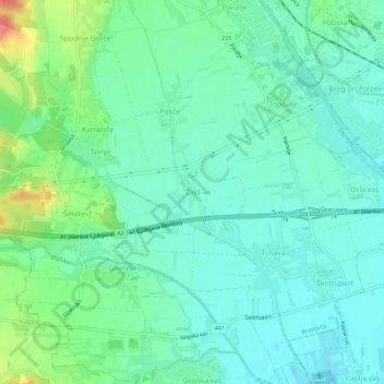
Name: Zakl topographic map, elevation, terrain.
Location: Zakl, Statistische Region Sann-Gegend, 3303, Slowenien (46.24150 15.03393 46.28150 15.07393)
Average elevation: 290 m
Minimum elevation: 273 m
Maximum elevation: 335 m