
Schlans topographic map
Interactive map
Click on the map to display elevation.
About this map
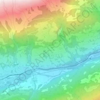
Name: Schlans topographic map, elevation, terrain.
Location: Schlans, Surselva, Graubünden, 7168, Schweiz (46.73310 8.99514 46.77310 9.03514)
Average elevation: 1,274 m
Minimum elevation: 801 m
Maximum elevation: 2,228 m