
Weckerath topographic map
Interactive map
Click on the map to display elevation.
About this map
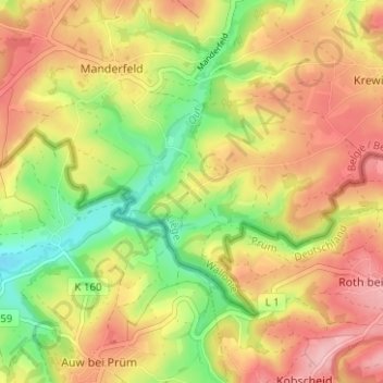
Name: Weckerath topographic map, elevation, terrain.
Location: Weckerath, Büllingen, Luik, Wallonië, België (50.29815 6.33313 50.33815 6.37313)
Average elevation: 530 m
Minimum elevation: 453 m
Maximum elevation: 598 m