
Bella Vista topographic map
Interactive map
Click on the map to display elevation.
About this map
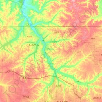
Name: Bella Vista topographic map, elevation, terrain.
Location: Bella Vista, Benton County, Arkansas, 72715, Estados Unidos (36.41540 -94.37571 36.49987 -94.16197)
Average elevation: 374 m
Minimum elevation: 283 m
Maximum elevation: 448 m