
Graide topographic map
Interactive map
Click on the map to display elevation.
About this map
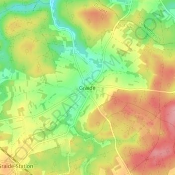
Name: Graide topographic map, elevation, terrain.
Location: Graide, Bièvre, Namur, Wallonie, 5555, Belgique (49.93143 5.04747 49.97143 5.08747)
Average elevation: 383 m
Minimum elevation: 329 m
Maximum elevation: 439 m