
Thank you for supporting this site ❤️
Make a donation
Make a donation
Whitaker topographic map
Click on the map to display elevation.
Thank you for supporting this site ❤️
Make a donation
Make a donation
About this map
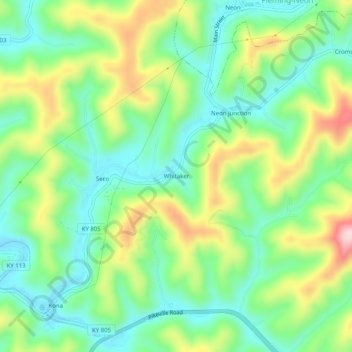
Name: Whitaker topographic map, elevation, terrain.
Location: Whitaker, Letcher County, Kentucky, 41849, United States (37.15232 -82.74155 37.19232 -82.70155)
Average elevation: 469 m
Minimum elevation: 377 m
Maximum elevation: 639 m
Thank you for supporting this site ❤️
Make a donation
Make a donation