
Katakeri topographic map
Click on the map to display elevation.
About this map
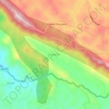
Name: Katakeri topographic map, elevation, terrain.
Location: Katakeri, Madikeri taluku, Coorg, Karnataka, 571201, India (12.40861 75.68136 12.44861 75.72136)
Average elevation: 1,026 m
Minimum elevation: 822 m
Maximum elevation: 1,241 m