
Thank you for supporting this site ❤️
Make a donation
Make a donation
Logbon Island topographic map
Click on the map to display elevation.
Thank you for supporting this site ❤️
Make a donation
Make a donation
About this map
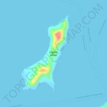
Name: Logbon Island topographic map, elevation, terrain.
Location: Logbon Island, Logbon, Romblon, Mimaropa, Philippines (12.58301 122.23936 12.60240 122.25172)
Average elevation: 3 m
Minimum elevation: -1 m
Maximum elevation: 85 m
Thank you for supporting this site ❤️
Make a donation
Make a donation