
Thank you for supporting this site ❤️
Make a donation
Make a donation
Kansan topographic map
Click on the map to display elevation.
Thank you for supporting this site ❤️
Make a donation
Make a donation
About this map
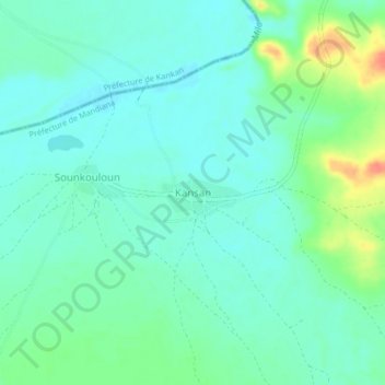
Name: Kansan topographic map, elevation, terrain.
Location: Kansan, Mandiana Prefecture, Kankan Region, Guinea (10.98719 -9.18817 11.02719 -9.14817)
Average elevation: 357 m
Minimum elevation: 344 m
Maximum elevation: 392 m
Thank you for supporting this site ❤️
Make a donation
Make a donation