
Terria topographic map
Click on the map to display elevation.
About this map
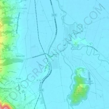
Name: Terria topographic map, elevation, terrain.
Location: Terria, Contigliano, Rieti, Lazio, 02043, Italy (42.41594 12.76789 42.45594 12.80789)
Average elevation: 391 m
Minimum elevation: 373 m
Maximum elevation: 588 m
Other topographic maps
Click on a map to view its topography, its elevation and its terrain.