
Thank you for supporting this site ❤️
Make a donation
Make a donation
Stringtown topographic map
Click on the map to display elevation.
Thank you for supporting this site ❤️
Make a donation
Make a donation
About this map
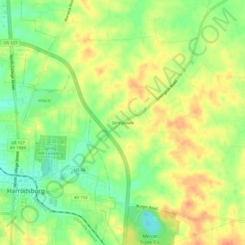
Name: Stringtown topographic map, elevation, terrain.
Location: Stringtown, Mercer County, Kentucky, 40330, United States (37.75341 -84.84328 37.79341 -84.80328)
Average elevation: 275 m
Minimum elevation: 250 m
Maximum elevation: 296 m
Thank you for supporting this site ❤️
Make a donation
Make a donation
Other topographic maps
Click on a map to view its topography, its elevation and its terrain.