
Thank you for supporting this site ❤️
Make a donation
Make a donation
Cloud County topographic map
Click on the map to display elevation.
Thank you for supporting this site ❤️
Make a donation
Make a donation
About this map
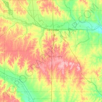
Name: Cloud County topographic map, elevation, terrain.
Location: Cloud County, Kansas, United States (39.30714 -97.93139 39.65399 -97.36834)
Average elevation: 440 m
Minimum elevation: 388 m
Maximum elevation: 518 m
Thank you for supporting this site ❤️
Make a donation
Make a donation