
Madison topographic map
Interactive map
Click on the map to display elevation.
About this map
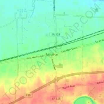
Name: Madison topographic map, elevation, terrain.
Location: Madison, Lake County, Ohio, United States of America (41.74767 -81.07336 41.79715 -81.03021)
Average elevation: 226 m
Minimum elevation: 200 m
Maximum elevation: 265 m