
Thank you for supporting this site ❤️
Make a donation
Make a donation
Busia Mountain topographic map
Click on the map to display elevation.
Thank you for supporting this site ❤️
Make a donation
Make a donation
About this map
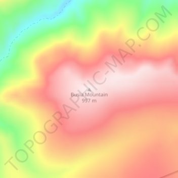
Name: Busia Mountain topographic map, elevation, terrain.
Location: Busia Mountain, Denali Borough, Alaska, United States (63.50343 -150.98483 63.50353 -150.98473)
Average elevation: 809 m
Minimum elevation: 543 m
Maximum elevation: 995 m
Thank you for supporting this site ❤️
Make a donation
Make a donation
Other topographic maps
Click on a map to view its topography, its elevation and its terrain.