
Thank you for supporting this site ❤️
Make a donation
Make a donation
الشملي topographic map
Click on the map to display elevation.
Thank you for supporting this site ❤️
Make a donation
Make a donation
About this map
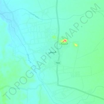
Name: الشملي topographic map, elevation, terrain.
Location: الشملي, Ash Shamli, Ḥa'il Province, Saudi Arabia (26.82292 40.28390 26.90292 40.36390)
Average elevation: 978 m
Minimum elevation: 964 m
Maximum elevation: 1,056 m
Thank you for supporting this site ❤️
Make a donation
Make a donation
Other topographic maps
Click on a map to view its topography, its elevation and its terrain.