
Ostenholz topographic map
Interactive map
Click on the map to display elevation.
About this map
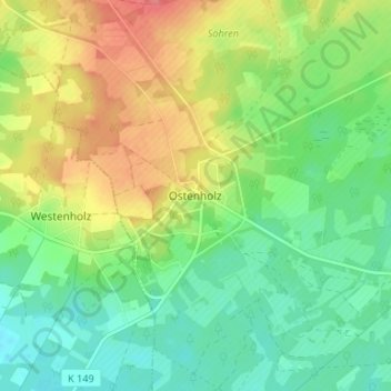
Name: Ostenholz topographic map, elevation, terrain.
Location: Ostenholz, Osterheide, Heidekreis, Niedersachsen, Deutschland (52.75411 9.70234 52.79411 9.74234)
Average elevation: 54 m
Minimum elevation: 26 m
Maximum elevation: 95 m