
Thank you for supporting this site ❤️
Make a donation
Make a donation
Dry Ridge topographic map
Click on the map to display elevation.
Thank you for supporting this site ❤️
Make a donation
Make a donation
About this map
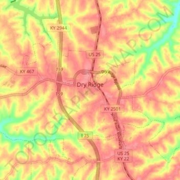
Name: Dry Ridge topographic map, elevation, terrain.
Location: Dry Ridge, Grant County, Kentucky, United States (38.65835 -84.63538 38.70221 -84.56666)
Average elevation: 274 m
Minimum elevation: 222 m
Maximum elevation: 298 m
Thank you for supporting this site ❤️
Make a donation
Make a donation