
Timmapur topographic map
Interactive map
Click on the map to display elevation.
About this map
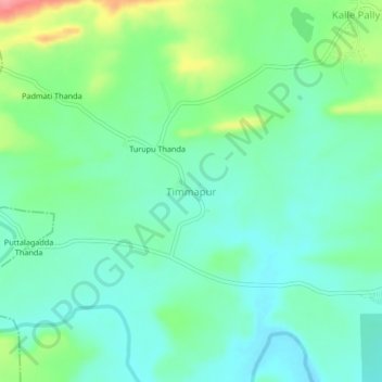
Name: Timmapur topographic map, elevation, terrain.
Location: Timmapur, Damaracherla mandal, Nalgonda, Telangana, India (16.70572 79.53078 16.74572 79.57078)
Average elevation: 102 m
Minimum elevation: 75 m
Maximum elevation: 172 m