
Thank you for supporting this site ❤️
Make a donation
Make a donation
Old Karnak topographic map
Click on the map to display elevation.
Thank you for supporting this site ❤️
Make a donation
Make a donation
About this map
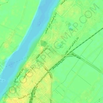
Name: Old Karnak topographic map, elevation, terrain.
Location: Old Karnak, Luxor, 81693, Egypt (25.69341 32.64418 25.72611 32.66951)
Average elevation: 78 m
Minimum elevation: 67 m
Maximum elevation: 89 m
Thank you for supporting this site ❤️
Make a donation
Make a donation
Other topographic maps
Click on a map to view its topography, its elevation and its terrain.
Ancient Thebes with its Necropolis
Egypt > Luxor > Al-Qarnah > Al Baairat Village
Average elevation: 114 m
Thank you for supporting this site ❤️
Make a donation
Make a donation
Thank you for supporting this site ❤️
Make a donation
Make a donation