
Thank you for supporting this site ❤️
Make a donation
Make a donation
Dhaniakhali topographic map
Click on the map to display elevation.
Thank you for supporting this site ❤️
Make a donation
Make a donation
About this map
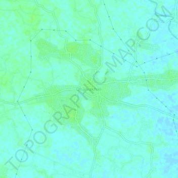
Name: Dhaniakhali topographic map, elevation, terrain.
Location: Dhaniakhali, Hooghly, West Bengal, 712302, India (22.94797 88.07809 22.98797 88.11809)
Average elevation: 15 m
Minimum elevation: 11 m
Maximum elevation: 20 m
Thank you for supporting this site ❤️
Make a donation
Make a donation