
Make a donation
Readyville topographic map
Click on the map to display elevation.
Make a donation
About this map
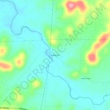
Name: Readyville topographic map, elevation, terrain.
Average elevation: 212 m
Minimum elevation: 179 m
Maximum elevation: 306 m
Make a donation
Other topographic maps
Click on a map to view its topography, its elevation and its terrain.
Woodbury
United States > Tennessee > Cannon County
The climate of Woodbury is a wet subtropical (Köppen Cfa) one with mild winters and hot summers. The diurnal temperature variation is unusual for such a rainy low-altitude climate, which leads to it having record highs and lows extreme for Tennessee; the temperature amplitude is 138 °F. Under the Trewartha…
Average elevation: 241 m