
Beenham topographic map
Click on the map to display elevation.
About this map
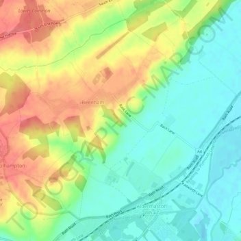
Name: Beenham topographic map, elevation, terrain.
Location: Beenham, West Berkshire, England, United Kingdom (51.39646 -1.17103 51.43002 -1.11852)
Average elevation: 77 m
Minimum elevation: 47 m
Maximum elevation: 115 m