
Panhulan topographic map
Click on the map to display elevation.
About this map
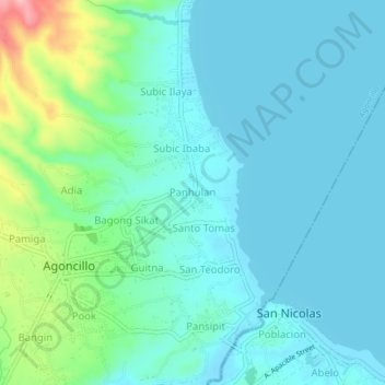
Name: Panhulan topographic map, elevation, terrain.
Location: Panhulan, Agoncillo, Batangas, Calabarzon, 4211, Philippines (13.92247 120.92183 13.96247 120.96183)
Average elevation: 31 m
Minimum elevation: 3 m
Maximum elevation: 147 m