
Blönduósbær topographic map
Interactive map
Click on the map to display elevation.
About this map
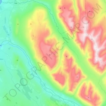
Name: Blönduósbær topographic map, elevation, terrain.
Location: Blönduósbær, Northwestern Region, 540, Iceland (65.56838 -20.30770 65.72783 -19.93315)
Average elevation: 102 m
Minimum elevation: -3 m
Maximum elevation: 837 m