
Thank you for supporting this site ❤️
Make a donation
Make a donation
Nanighi East topographic map
Click on the map to display elevation.
Thank you for supporting this site ❤️
Make a donation
Make a donation
About this map
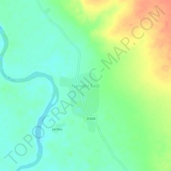
Name: Nanighi East topographic map, elevation, terrain.
Location: Nanighi East, Bura, Tana River County, Coast, Kenya (-0.87285 39.85004 -0.83285 39.89004)
Average elevation: 118 m
Minimum elevation: 101 m
Maximum elevation: 146 m
Thank you for supporting this site ❤️
Make a donation
Make a donation