
Thank you for supporting this site ❤️
Make a donation
Make a donation
Kampung Lumut topographic map
Click on the map to display elevation.
Thank you for supporting this site ❤️
Make a donation
Make a donation
About this map
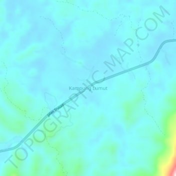
Name: Kampung Lumut topographic map, elevation, terrain.
Location: Kampung Lumut, Lawas, Limbang Division, Sarawak, Malaysia (4.81528 115.30935 4.85528 115.34935)
Average elevation: 34 m
Minimum elevation: 2 m
Maximum elevation: 309 m
Thank you for supporting this site ❤️
Make a donation
Make a donation