
Thank you for supporting this site ❤️
Make a donation
Make a donation
Donk topographic map
Click on the map to display elevation.
Thank you for supporting this site ❤️
Make a donation
Make a donation
About this map
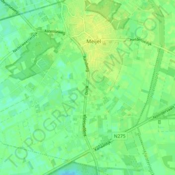
Name: Donk topographic map, elevation, terrain.
Location: Donk, Meijel, Peel en Maas, Limburg, Nederland, 5768, Nederland (51.31348 5.86329 51.35348 5.90329)
Average elevation: 33 m
Minimum elevation: 25 m
Maximum elevation: 38 m
Thank you for supporting this site ❤️
Make a donation
Make a donation