
Ozo topographic map
Interactive map
Click on the map to display elevation.
About this map
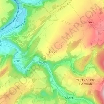
Name: Ozo topographic map, elevation, terrain.
Location: Ozo, Durbuy, Marche-en-Famenne, Luxembourg, Wallonie, Belgique (50.35333 5.53578 50.39333 5.57578)
Average elevation: 219 m
Minimum elevation: 124 m
Maximum elevation: 332 m