
Thank you for supporting this site ❤️
Make a donation
Make a donation
San Agustin topographic map
Click on the map to display elevation.
Thank you for supporting this site ❤️
Make a donation
Make a donation
About this map
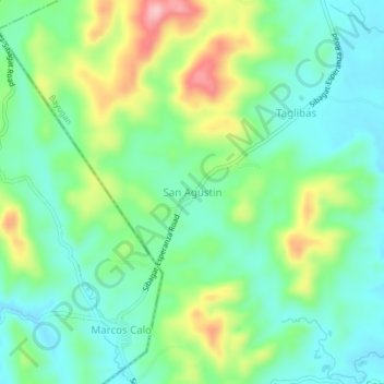
Name: San Agustin topographic map, elevation, terrain.
Location: San Agustin, Bayugan, Agusan del Sur, Caraga, Philippines (8.73700 125.65935 8.77700 125.69935)
Average elevation: 81 m
Minimum elevation: 26 m
Maximum elevation: 198 m
Thank you for supporting this site ❤️
Make a donation
Make a donation
Other topographic maps
Click on a map to view its topography, its elevation and its terrain.