
Bussy (FR) topographic map
Interactive map
Click on the map to display elevation.
About this map
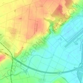
Name: Bussy (FR) topographic map, elevation, terrain.
Average elevation: 471 m
Minimum elevation: 442 m
Maximum elevation: 507 m
Other topographic maps
Click on a map to view its topography, its elevation and its terrain.
Vuissens
Suisse > Fribourg > District de la Broye > Estavayer
Vuissens, Estavayer, District de la Broye, Fribourg, 1486, Suisse
Average elevation: 745 m