
Ravine Creuse topographic map
Interactive map
Click on the map to display elevation.
About this map
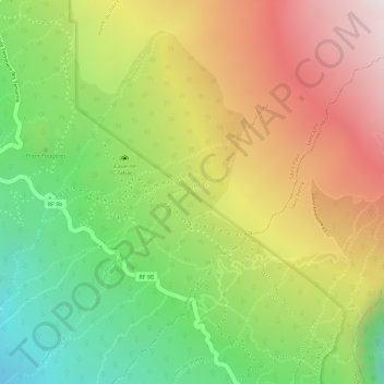
Name: Ravine Creuse topographic map, elevation, terrain.
Average elevation: 1,837 m
Minimum elevation: 1,460 m
Maximum elevation: 2,211 m
Other topographic maps
Click on a map to view its topography, its elevation and its terrain.
Ravine Creuse
Frankreich > Réunion > Saint-Leu
Ravine Creuse, Saint-Leu, Saint-Paul, Réunion, 97436, Frankreich
Average elevation: 1,689 m