
Ajaccio topographic map
Interactive map
Click on the map to display elevation.
About this map
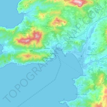
Name: Ajaccio topographic map, elevation, terrain.
Location: Ajaccio, Corse-du-Sud, Corse, France métropolitaine, France (41.87390 8.58557 41.97718 8.82610)
Average elevation: 105 m
Minimum elevation: -3 m
Maximum elevation: 808 m
Une station existe depuis le 1er mars 1944 à l'aéroport à 41,91806, 8,79278, à 5 m d'altitude.