
Thank you for supporting this site ❤️
Make a donation
Make a donation
White Hill topographic map
Click on the map to display elevation.
Thank you for supporting this site ❤️
Make a donation
Make a donation
White Hill
White Hill is a peak in the Cape Breton Highlands and is the highest elevation point in the province of Nova Scotia, Canada.
Thank you for supporting this site ❤️
Make a donation
Make a donation
About this map
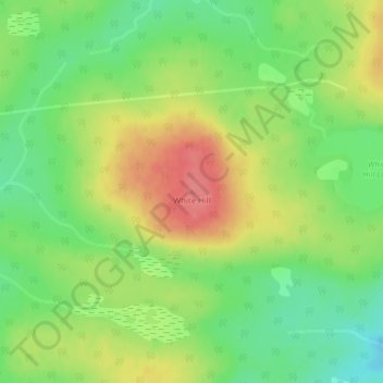
Name: White Hill topographic map, elevation, terrain.
Average elevation: 488 m
Minimum elevation: 453 m
Maximum elevation: 529 m
Thank you for supporting this site ❤️
Make a donation
Make a donation