
The Meadow topographic map
Interactive map
Click on the map to display elevation.
About this map
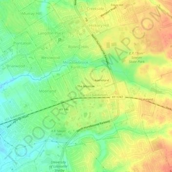
Name: The Meadow topographic map, elevation, terrain.
Location: The Meadow, Jefferson County, Kentucky, 40242, USA (38.25340 -85.59218 38.29340 -85.55218)
Average elevation: 200 m
Minimum elevation: 175 m
Maximum elevation: 224 m